We must have transparency and accountability over sale of our public lands
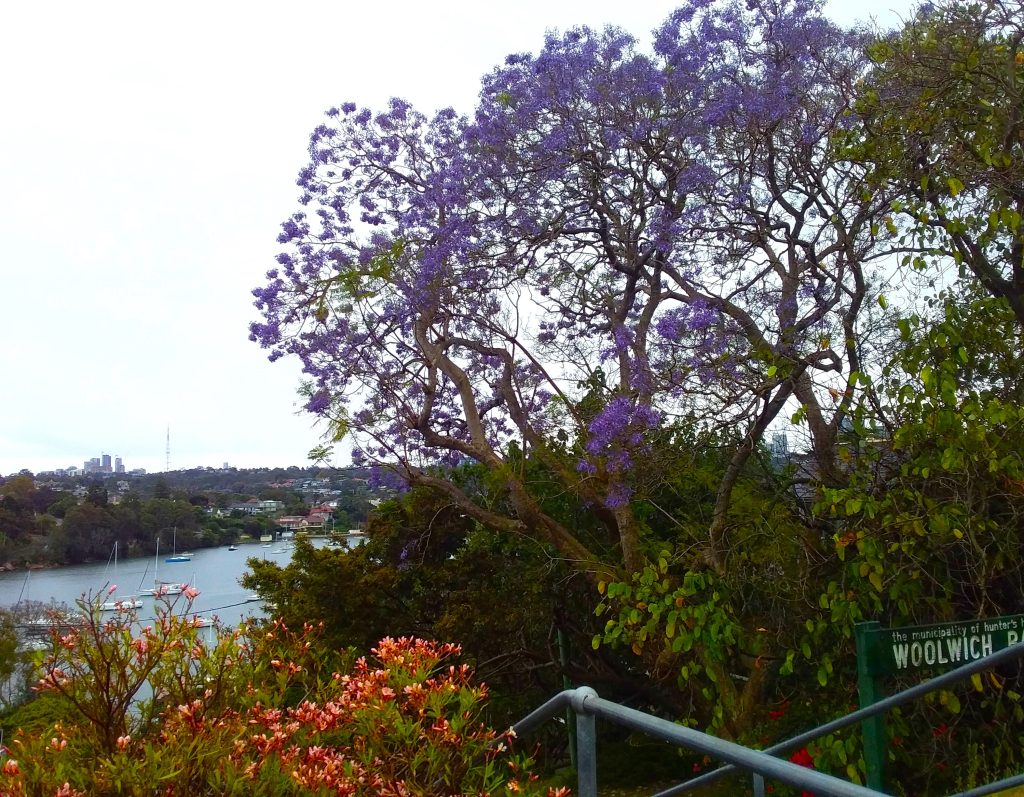
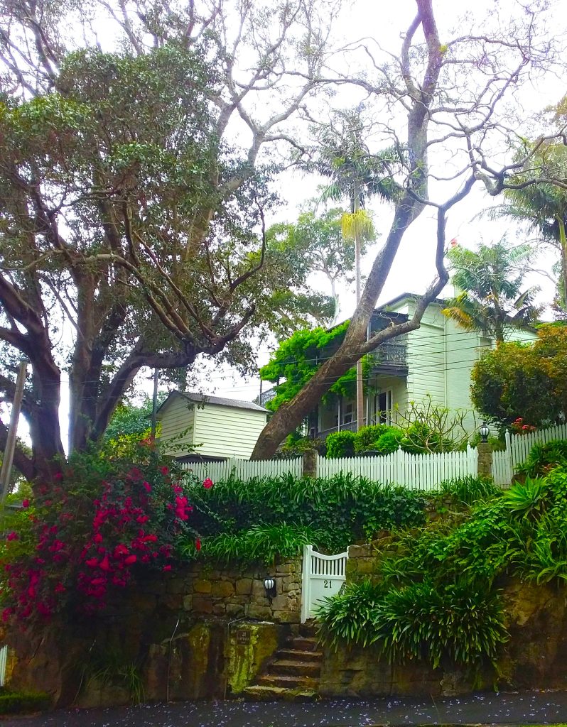
Yet another issue regarding so-called ‘Remnant Land’ has raised its head (see our previous post dated 1 October 2022) with Council’s plans to dispose of an approx 834sqm parcel of public waterfront land (the Joubert Street South Road Reserve) 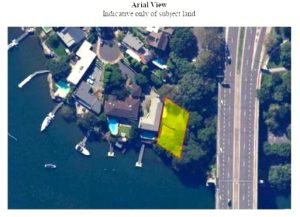 .
.
In a closed session at Council Meeting on 27 November 2023 a resolution was carried by the Mayor’s casting vote, to progress the sale of this incredibly valuable piece of foreshore for a “minimum consideration” as contained in the valuation report.
The Valuation Report was not made public at this Meeting but the Trust has located the one prepared in 2019 for the proposal to lease the land Valuation of Road Reserve for 13 Euthella Ave.
Retention in public hands was included as an option
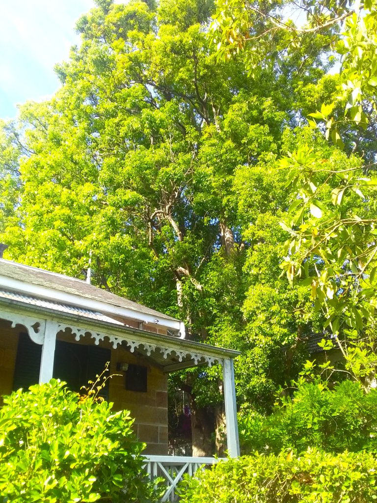
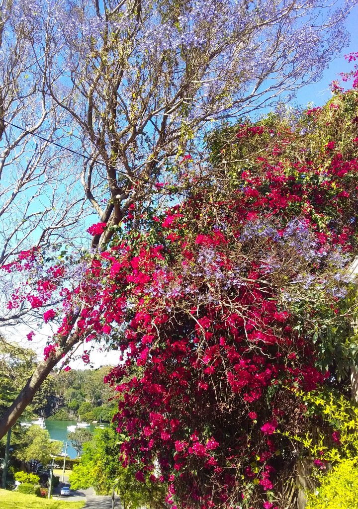
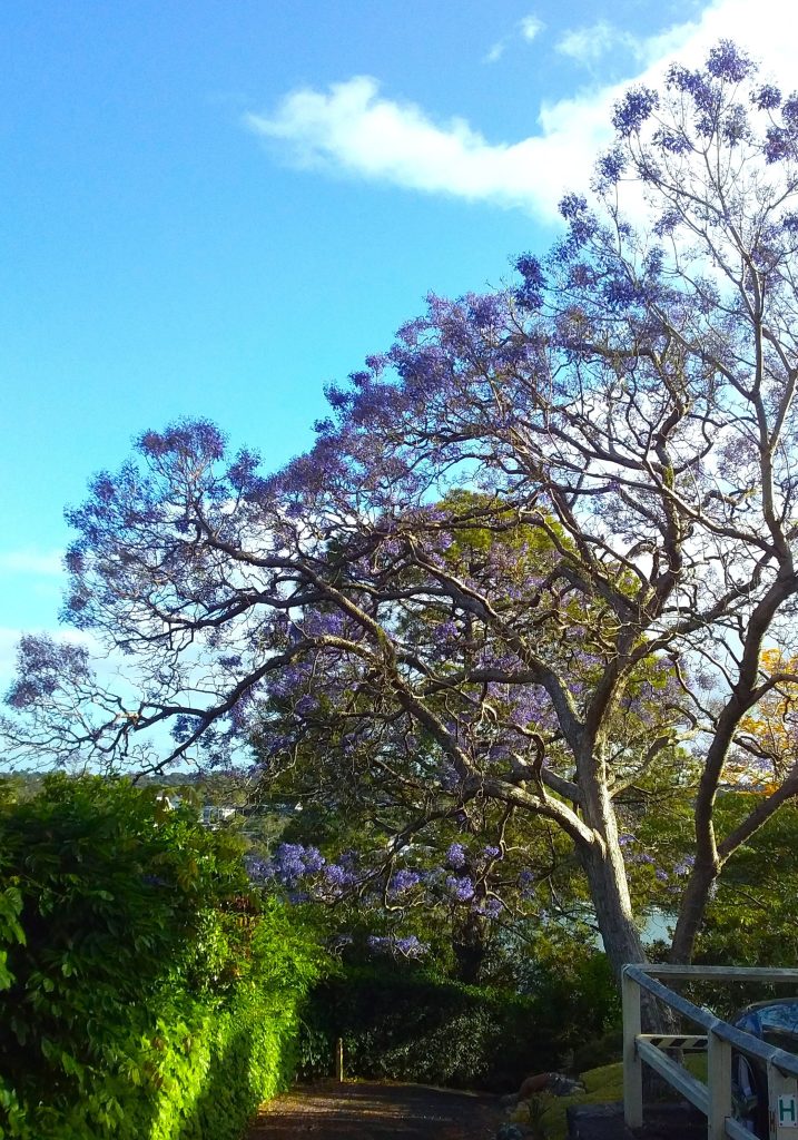
The Trust has written to Council with our Objection to this sale of a rare remnant of foreshore, which Council should be fighting to retain to help combat climate change and preserve public access to open green space, particularly as pressures from population density increase.
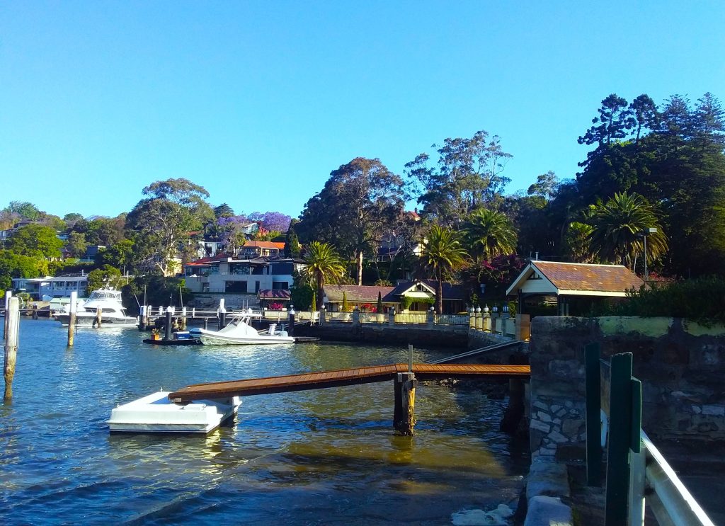
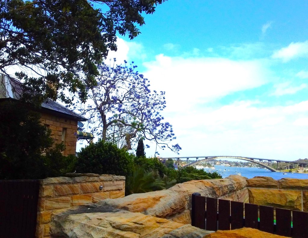
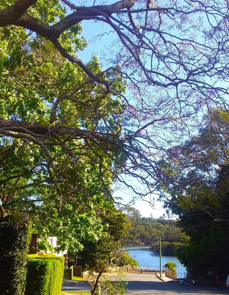
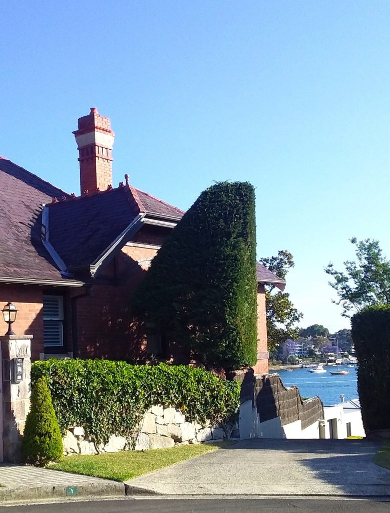
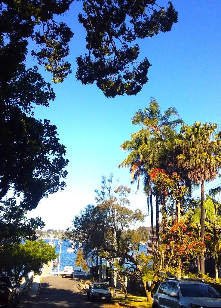
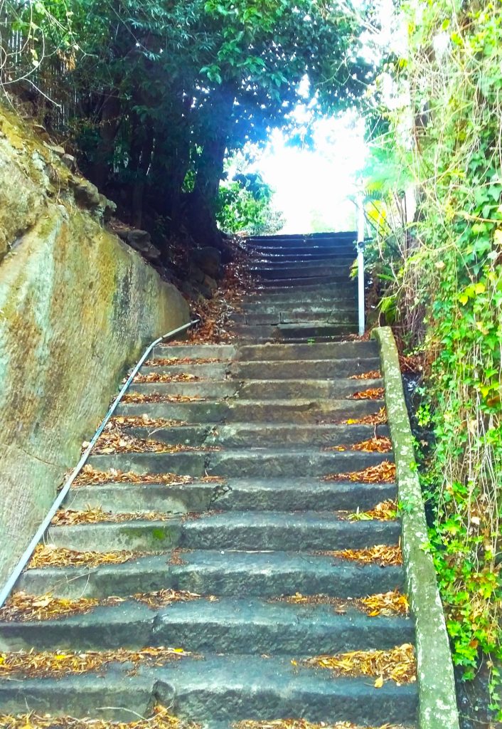
We dispute Council’s position that the land is only of value to the adjoining owner at 13 Euthella Avenue who currently leases the land for $20,000pa. Historically there was access by stairs from Joubert Street South and, as a continuation of Joubert Street, it can provide public access to the waterfront adjacent to Tarban Creek Bridge. There is also the potential which should be explored, for future increased public access from lands retained by the Department responsible for roads, via Wandella Avenue.
Council’s own requirement that public notices be provided in accordance with the NSW Roads Act of 1993, Local Government Act 1993 and the Hunter’s Hill Council Policy for Disposal of Council Land, does not yet appear to have occurred.
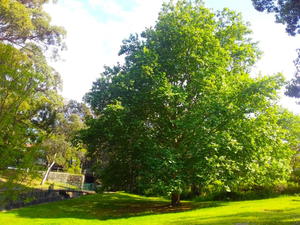
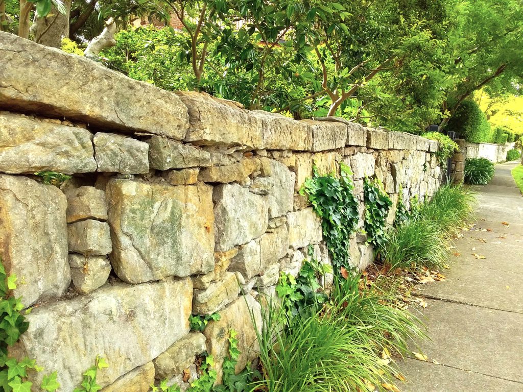
Council must be transparent and explore all options. We will never afford to buy this land back, and once in private hands, the natural rock outcrop and trees cannot be guaranteed to survive. Our preference is for Council to maintain this as a wildlife corridor for future generations. However if it is decided that it must be sold, it should be offered for sale publicly for the maximum benefit of ratepayers.
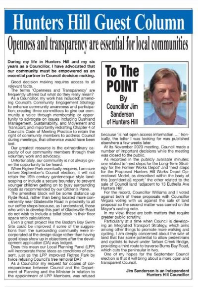
A very relevant recent article mentioning the above was published in the TWT of 14 February 2024. Written by Councillor Jim Sanderson it is entitled Openness and Transparency are Essential for Local Communities: